
Chotank State Natural Area Preserve topographic map
Interactive map
Click on the map to display elevation.
About this map
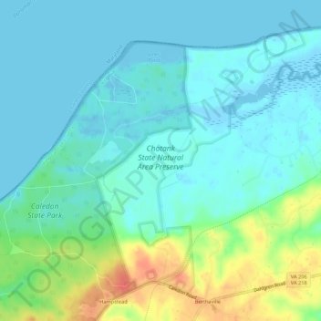
Name: Chotank State Natural Area Preserve topographic map, elevation, terrain.
Average elevation: 43 ft
Minimum elevation: -26 ft
Maximum elevation: 171 ft