
Osbaldwick topographic map
Interactive map
Click on the map to display elevation.
About this map
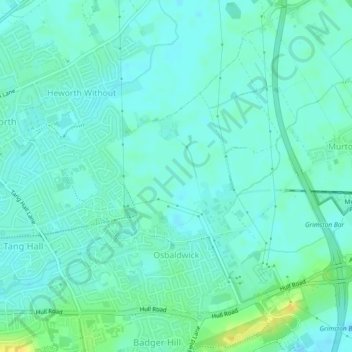
Name: Osbaldwick topographic map, elevation, terrain.
Location: Osbaldwick, York, England, United Kingdom (53.95377 -1.04702 53.97480 -1.01752)
Average elevation: 52 ft
Minimum elevation: 33 ft
Maximum elevation: 105 ft
Other topographic maps
Click on a map to view its topography, its elevation and its terrain.
Heslington
United Kingdom > England > York
Heslington, York, England, United Kingdom
Average elevation: 39 ft
Huntington
United Kingdom > England > York
Huntington, York, England, United Kingdom
Average elevation: 52 ft