
Wanze topographic map
Interactive map
Click on the map to display elevation.
About this map
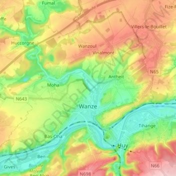
Name: Wanze topographic map, elevation, terrain.
Location: Wanze, Huy, Liège, Wallonia, 4520, Belgium (50.50858 5.13217 50.58262 5.26587)
Average elevation: 466 ft
Minimum elevation: 190 ft
Maximum elevation: 827 ft
Other topographic maps
Click on a map to view its topography, its elevation and its terrain.