
10th of Ramadan City topographic map
Interactive map
Click on the map to display elevation.
About this map
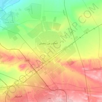
Name: 10th of Ramadan City topographic map, elevation, terrain.
Location: 10th of Ramadan City, Al Sharqia Governorate, Egypt (30.13001 31.58934 30.45001 31.90934)
Average elevation: 394 ft
Minimum elevation: 30 ft
Maximum elevation: 883 ft