
Waterton topographic map
Interactive map
Click on the map to display elevation.
About this map
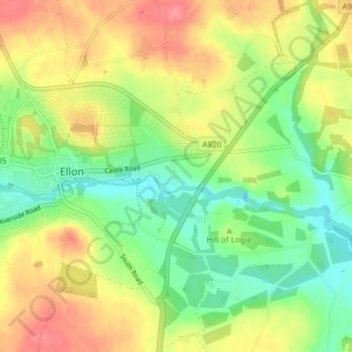
Name: Waterton topographic map, elevation, terrain.
Location: Waterton, Aberdeenshire, Scotland, AB41 9QQ, United Kingdom (57.34458 -2.06896 57.38458 -2.02896)
Average elevation: 105 ft
Minimum elevation: -16 ft
Maximum elevation: 223 ft