
Kurrajong topographic map
Interactive map
Click on the map to display elevation.
About this map
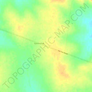
Name: Kurrajong topographic map, elevation, terrain.
Location: Kurrajong, Queensland, Australia (-23.11889 148.05690 -23.07889 148.09690)
Average elevation: 846 ft
Minimum elevation: 791 ft
Maximum elevation: 886 ft