
Taman Putra Perdana topographic map
Interactive map
Click on the map to display elevation.
About this map
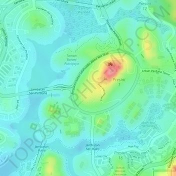
Name: Taman Putra Perdana topographic map, elevation, terrain.
Location: Taman Putra Perdana, Putrajaya, Malaysia (2.93813 101.69510 2.94579 101.70232)
Average elevation: 135 ft
Minimum elevation: 56 ft
Maximum elevation: 384 ft