
Gambier topographic map
Interactive map
Click on the map to display elevation.
About this map
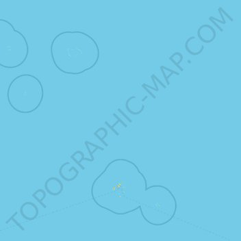
Name: Gambier topographic map, elevation, terrain.
Location: Gambier, French Polynesia, 98755, France (-23.57562 -137.35875 -21.09317 -134.24480)
Average elevation: 0 ft
Minimum elevation: 0 ft
Maximum elevation: 873 ft
Other topographic maps
Click on a map to view its topography, its elevation and its terrain.
Tekava
France > French Polynesia > Gambier
Tekava, Marutea, Gambier, French Polynesia, 98755, France
Average elevation: 0 ft
Mekiro
France > French Polynesia > Gambier
Mekiro, Gambier Islands, Gambier, French Polynesia, 98755, France
Average elevation: 39 ft
Motu Teiku
France > French Polynesia > Gambier
Motu Teiku, Kamaka, Gambier Islands, Gambier, French Polynesia, 98755, France
Average elevation: 0 ft
Akamaru
France > French Polynesia > Gambier
Akamaru, Gambier Islands, Gambier, French Polynesia, 98755, France
Average elevation: 49 ft
Temoe
France > French Polynesia > Gambier
Temoe, Gambier, Tuamotu-Gambier, Gambier, French Polynesia, 98755, France
Average elevation: 0 ft
Manui
France > French Polynesia > Gambier
Manui, Gambier, Tuamotu-Gambier, French Polynesia, France
Average elevation: 10 ft