
La Bastide-Puylaurent topographic map
Interactive map
Click on the map to display elevation.
About this map
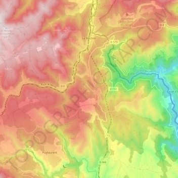
Name: La Bastide-Puylaurent topographic map, elevation, terrain.
Average elevation: 3,445 ft
Minimum elevation: 1,982 ft
Maximum elevation: 4,485 ft