
Ainsworth topographic map
Interactive map
Click on the map to display elevation.
About this map
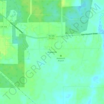
Name: Ainsworth topographic map, elevation, terrain.
Location: Ainsworth, Liberty County, Texas, USA (30.29410 -95.05076 30.33410 -95.01076)
Average elevation: 135 ft
Minimum elevation: 112 ft
Maximum elevation: 161 ft