
Phra Nakhon Si Ayutthaya City Municipality topographic map
Interactive map
Click on the map to display elevation.
About this map
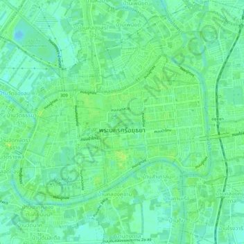
Name: Phra Nakhon Si Ayutthaya City Municipality topographic map, elevation, terrain.
Average elevation: 23 ft
Minimum elevation: 0 ft
Maximum elevation: 46 ft
Other topographic maps
Click on a map to view its topography, its elevation and its terrain.
Mu 3
Thailand > Phra Nakhon Si Ayutthaya Province > Phra Nakhon Si Ayutthaya District > Khlong Suan Phlu Subdistrict
Mu 3, Khlong Suan Phlu Subdistrict, Phra Nakhon Si Ayutthaya District, Phra Nakhon Si Ayutthaya Province, 13000, Thailand
Average elevation: 16 ft