
Jesseren topographic map
Interactive map
Click on the map to display elevation.
About this map
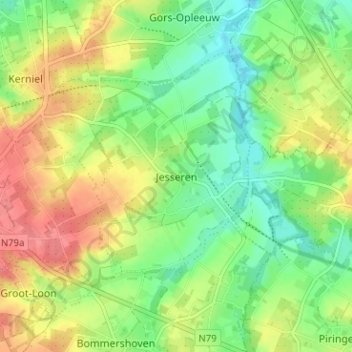
Name: Jesseren topographic map, elevation, terrain.
Location: Jesseren, Tongeren, Limburg, Flanders, 3840, Belgium (50.78587 5.37052 50.82587 5.41052)
Average elevation: 272 ft
Minimum elevation: 174 ft
Maximum elevation: 394 ft