
Esker topographic map
Interactive map
Click on the map to display elevation.
About this map
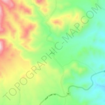
Name: Esker topographic map, elevation, terrain.
Location: Esker, بخش مرکزی, Rabor County, Kerman Province, Iran (29.29278 56.81767 29.33278 56.85767)
Average elevation: 8,740 ft
Minimum elevation: 8,136 ft
Maximum elevation: 9,603 ft