
La Vega topographic map
Interactive map
Click on the map to display elevation.
About this map
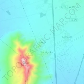
Name: La Vega topographic map, elevation, terrain.
Location: La Vega, Province of Huaral, Lima, Peru (-11.54901 -77.23077 -11.50901 -77.19077)
Average elevation: 682 ft
Minimum elevation: 423 ft
Maximum elevation: 1,936 ft