
Rayne topographic map
Interactive map
Click on the map to display elevation.
About this map
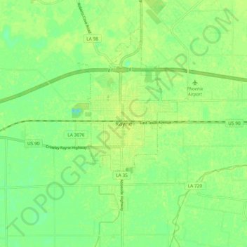
Name: Rayne topographic map, elevation, terrain.
Location: Rayne, Acadia Parish, Louisiana, 70578, United States (30.19493 -92.30846 30.27493 -92.22846)
Average elevation: 30 ft
Minimum elevation: -10 ft
Maximum elevation: 43 ft