
Whispering Pine topographic map
Interactive map
Click on the map to display elevation.
About this map
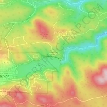
Name: Whispering Pine topographic map, elevation, terrain.
Location: Whispering Pine, Boulder County, Colorado, 80466, USA (39.94971 -105.50583 39.98971 -105.46583)
Average elevation: 8,376 ft
Minimum elevation: 7,877 ft
Maximum elevation: 8,891 ft