
Rufat topographic map
Interactive map
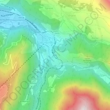
Click on the map to display elevation.
About this map
Name: Rufat topographic map, elevation, terrain.
Average elevation: 3,261 ft
Minimum elevation: 2,215 ft
Maximum elevation: 5,338 ft
Other topographic maps
Click on a map to view its topography, its elevation and its terrain.
Ax-les-Thermes
France > Occitania > Ariège > Ax-les-Thermes
Ax-les-Thermes, Foix, Ariège, Occitania, Metropolitan France, 09110, France
Average elevation: 4,754 ft