
Pulau Salawati topographic map
Interactive map
Click on the map to display elevation.
About this map
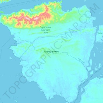
Name: Pulau Salawati topographic map, elevation, terrain.
Location: Pulau Salawati, Sorong, West Papua, Indonesia (-1.35934 130.63447 -0.88899 131.08775)
Average elevation: 141 ft
Minimum elevation: -10 ft
Maximum elevation: 2,493 ft
Other topographic maps
Click on a map to view its topography, its elevation and its terrain.