
Hallorans Hill Park topographic map
Interactive map
Click on the map to display elevation.
About this map
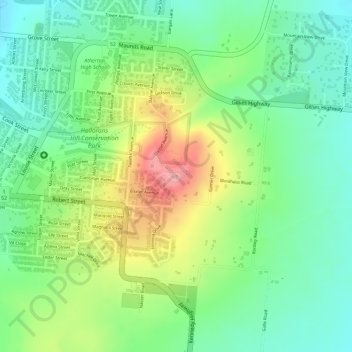
Name: Hallorans Hill Park topographic map, elevation, terrain.
Average elevation: 2,605 ft
Minimum elevation: 2,441 ft
Maximum elevation: 2,851 ft