
Salto de Bordones topographic map
Interactive map
Click on the map to display elevation.
About this map
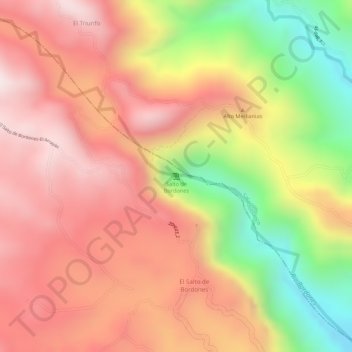
Name: Salto de Bordones topographic map, elevation, terrain.
Location: Salto de Bordones, Isnos, Sur, Huila, Colombia (2.01226 -76.16700 2.01236 -76.16690)
Average elevation: 5,669 ft
Minimum elevation: 4,432 ft
Maximum elevation: 6,424 ft