
L'Isle-sur-la-Sorgue topographic map
Interactive map
Click on the map to display elevation.
About this map
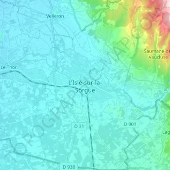
Name: L'Isle-sur-la-Sorgue topographic map, elevation, terrain.
Average elevation: 285 ft
Minimum elevation: 151 ft
Maximum elevation: 1,362 ft