
La Pierre Saint-Martin topographic map
Interactive map
Click on the map to display elevation.
About this map
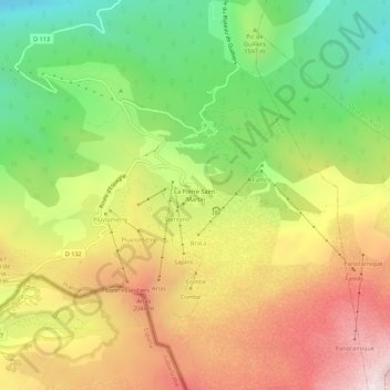
Name: La Pierre Saint-Martin topographic map, elevation, terrain.
Average elevation: 5,413 ft
Minimum elevation: 3,517 ft
Maximum elevation: 7,513 ft