
Río Tumbes topographic map
Interactive map
Click on the map to display elevation.
About this map
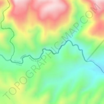
Name: Río Tumbes topographic map, elevation, terrain.
Average elevation: 1,719 ft
Minimum elevation: 1,109 ft
Maximum elevation: 2,461 ft
Other topographic maps
Click on a map to view its topography, its elevation and its terrain.
Río Tumbes
Peru > Tumbes > Pampas de Hospital
Río Tumbes, Pampas de Hospital, Province of Tumbes, Tumbes, Peru
Average elevation: 1,385 ft