
Clausthal-Zellerfeld topographic map
Interactive map
Click on the map to display elevation.
About this map
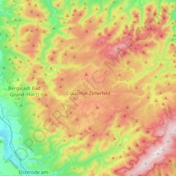
Name: Clausthal-Zellerfeld topographic map, elevation, terrain.
Location: Clausthal-Zellerfeld, Landkreis Goslar, Lower Saxony, Germany (51.76580 10.26896 51.85819 10.54346)
Average elevation: 1,594 ft
Minimum elevation: 561 ft
Maximum elevation: 2,831 ft