
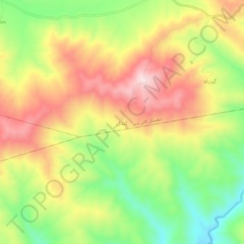
Kandal topographic map
Interactive map
Click on the map to display elevation.
About this map
Name: Kandal topographic map, elevation, terrain.
Average elevation: 5,003 ft
Minimum elevation: 4,370 ft
Maximum elevation: 5,627 ft
Other topographic maps
Click on a map to view its topography, its elevation and its terrain.
Bilu
Iran > Kurdistan Province > Baneh County > Kani Sur
Bilu, Kani Sur, بخش نمه شیر, Baneh County, Kurdistan Province, Iran
Average elevation: 5,676 ft