
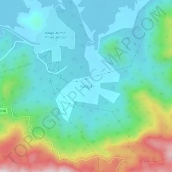
Kaiga topographic map
Interactive map
Click on the map to display elevation.
About this map
Name: Kaiga topographic map, elevation, terrain.
Location: Kaiga, Karwar taluk, Uttara Kannada, Karnataka, India (14.83417 74.42585 14.87417 74.46585)
Average elevation: 509 ft
Minimum elevation: 95 ft
Maximum elevation: 1,742 ft