
Bunde topographic map
Interactive map
Click on the map to display elevation.
About this map
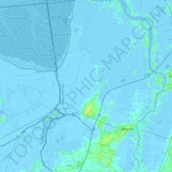
Name: Bunde topographic map, elevation, terrain.
Location: Bunde, Landkreis Leer, Lower Saxony, 26831, Germany (53.11286 7.17890 53.31835 7.32016)
Average elevation: 0 ft
Minimum elevation: -20 ft
Maximum elevation: 36 ft