
Kattendorf topographic map
Interactive map
Click on the map to display elevation.
About this map
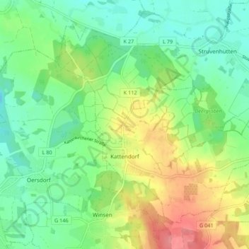
Name: Kattendorf topographic map, elevation, terrain.
Location: Kattendorf, Kisdorf, Segeberg, Schleswig-Holstein, Germany (53.83038 10.00089 53.86906 10.08369)
Average elevation: 135 ft
Minimum elevation: 39 ft
Maximum elevation: 302 ft