
Erbenheim topographic map
Interactive map
Click on the map to display elevation.
About this map
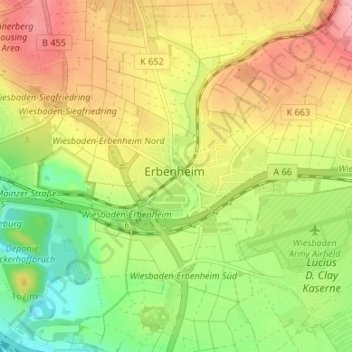
Name: Erbenheim topographic map, elevation, terrain.
Location: Erbenheim, Wiesbaden, Hesse, Germany (50.03871 8.26527 50.07211 8.33192)
Average elevation: 486 ft
Minimum elevation: 289 ft
Maximum elevation: 692 ft
Other topographic maps
Click on a map to view its topography, its elevation and its terrain.