
Elba topographic map
Interactive map
Click on the map to display elevation.
About this map
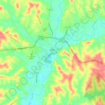
Name: Elba topographic map, elevation, terrain.
Location: Elba, Coffee County, Alabama, 36323, United States (31.36791 -86.12777 31.45610 -86.01278)
Average elevation: 262 ft
Minimum elevation: 157 ft
Maximum elevation: 427 ft