
caïdat de Bni Ourain Al Gharbia topographic map
Interactive map
Click on the map to display elevation.
About this map
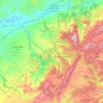
Name: caïdat de Bni Ourain Al Gharbia topographic map, elevation, terrain.
Average elevation: 2,930 ft
Minimum elevation: 738 ft
Maximum elevation: 6,391 ft