
Montague topographic map
Interactive map
Click on the map to display elevation.
About this map
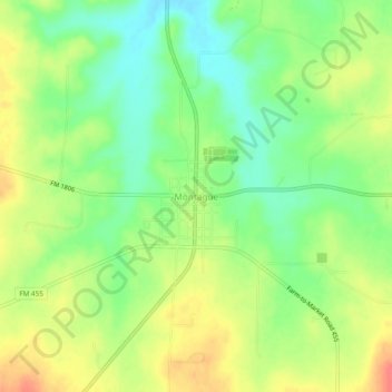
Name: Montague topographic map, elevation, terrain.
Location: Montague, Montague County, Texas, 76251, USA (33.64489 -97.74046 33.68489 -97.70046)
Average elevation: 1,070 ft
Minimum elevation: 981 ft
Maximum elevation: 1,171 ft