Angelus topographic map
Interactive map
Click on the map to display elevation.
About this map
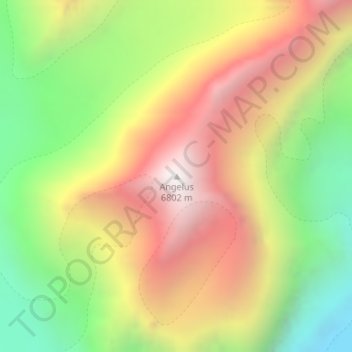
Name: Angelus topographic map, elevation, terrain.
Average elevation: 19,114 ft
Minimum elevation: 16,263 ft
Maximum elevation: 22,077 ft

Click on the map to display elevation.
Name: Angelus topographic map, elevation, terrain.
Average elevation: 19,114 ft
Minimum elevation: 16,263 ft
Maximum elevation: 22,077 ft