
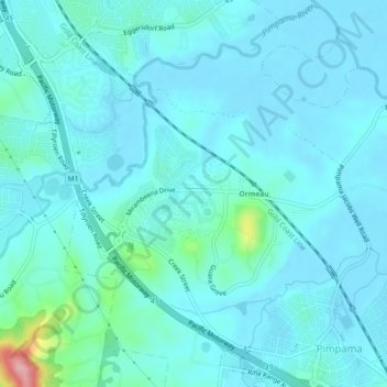
Canowindra topographic map
Interactive map
Click on the map to display elevation.
About this map
Name: Canowindra topographic map, elevation, terrain.
Location: Canowindra, Queensland, Australia (-27.82017 153.25541 -27.78017 153.29541)
Average elevation: 66 ft
Minimum elevation: 3 ft
Maximum elevation: 531 ft