
Bouira topographic map
Interactive map
Click on the map to display elevation.
About this map
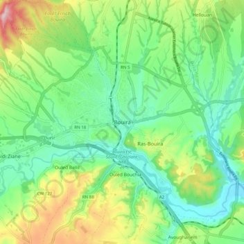
Name: Bouira topographic map, elevation, terrain.
Location: Bouira, Bouïra District, Bouira, 10000, Algeria (36.33390 3.86070 36.41390 3.94070)
Average elevation: 1,837 ft
Minimum elevation: 1,545 ft
Maximum elevation: 2,444 ft