
Lerma topographic map
Interactive map
Click on the map to display elevation.
About this map
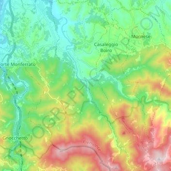
Name: Lerma topographic map, elevation, terrain.
Location: Lerma, Alessandria, Piemont, Italy (44.56832 8.68982 44.65821 8.76729)
Average elevation: 1,289 ft
Minimum elevation: 515 ft
Maximum elevation: 2,861 ft