
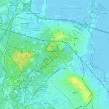
Baarn topographic map
Interactive map
Click on the map to display elevation.
About this map
Name: Baarn topographic map, elevation, terrain.
Location: Baarn, Utrecht, Netherlands (52.16762 5.21649 52.23283 5.33581)
Average elevation: 16 ft
Minimum elevation: -10 ft
Maximum elevation: 89 ft