
Claxton topographic map
Interactive map
Click on the map to display elevation.
About this map
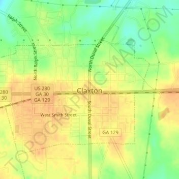
Name: Claxton topographic map, elevation, terrain.
Location: Claxton, Evans County, Georgia, 30429, United States (32.15186 -81.92409 32.17158 -81.89333)
Average elevation: 161 ft
Minimum elevation: 92 ft
Maximum elevation: 203 ft