
Bay Village topographic map
Interactive map
Click on the map to display elevation.
About this map
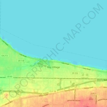
Name: Bay Village topographic map, elevation, terrain.
Location: Bay Village, Cuyahoga County, Ohio, 44140, United States (41.47687 -81.96945 41.51119 -81.87356)
Average elevation: 607 ft
Minimum elevation: 558 ft
Maximum elevation: 732 ft