Pas de la Crabe topographic map
Interactive map
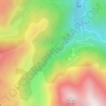
Click on the map to display elevation.
About this map
Name: Pas de la Crabe topographic map, elevation, terrain.
Average elevation: 5,174 ft
Minimum elevation: 3,501 ft
Maximum elevation: 6,975 ft

Click on the map to display elevation.
Name: Pas de la Crabe topographic map, elevation, terrain.
Average elevation: 5,174 ft
Minimum elevation: 3,501 ft
Maximum elevation: 6,975 ft