
Bani Abbas District topographic map
Interactive map
Click on the map to display elevation.
About this map
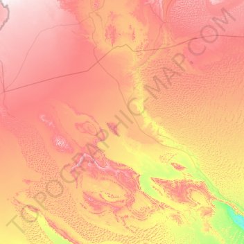
Name: Bani Abbas District topographic map, elevation, terrain.
Location: Bani Abbas District, Beni Abbes, 08300, Algeria (29.35244 -3.22868 30.85884 -0.91612)
Average elevation: 1,919 ft
Minimum elevation: 951 ft
Maximum elevation: 3,094 ft
Other topographic maps
Click on a map to view its topography, its elevation and its terrain.
Bani Abbas
Algeria > Beni Abbes > Bani Abbas District
Bani Abbas, Bani Abbas District, Beni Abbes, 08300, Algeria
Average elevation: 1,850 ft