
Hearst topographic map
Interactive map
Click on the map to display elevation.
About this map
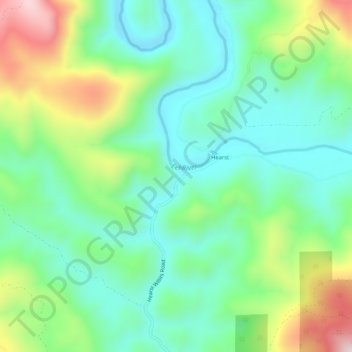
Name: Hearst topographic map, elevation, terrain.
Location: Hearst, Mendocino County, California, USA (39.47155 -123.23473 39.51155 -123.19473)
Average elevation: 1,716 ft
Minimum elevation: 1,230 ft
Maximum elevation: 2,795 ft