
Kashmir topographic map
Interactive map
Click on the map to display elevation.
About this map
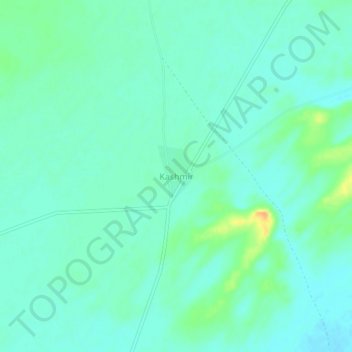
Name: Kashmir topographic map, elevation, terrain.
Location: Kashmir, Sheo Tehsil, Barmer District, Rajasthan, India (26.24442 71.58275 26.28442 71.62275)
Average elevation: 741 ft
Minimum elevation: 712 ft
Maximum elevation: 827 ft