
Atami topographic map
Interactive map
Click on the map to display elevation.
About this map
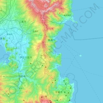
Name: Atami topographic map, elevation, terrain.
Location: Atami, Shizuoka Prefecture, Japan (34.95538 139.02785 35.15071 139.42076)
Average elevation: 604 ft
Minimum elevation: 0 ft
Maximum elevation: 3,543 ft