
Bach topographic map
Interactive map
Click on the map to display elevation.
About this map
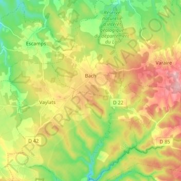
Name: Bach topographic map, elevation, terrain.
Location: Bach, Cahors, Lot, Occitania, Metropolitan France, 46230, France (44.29774 1.64390 44.38827 1.71613)
Average elevation: 965 ft
Minimum elevation: 741 ft
Maximum elevation: 1,237 ft