
Cooloolabin Dam topographic map
Interactive map
Click on the map to display elevation.
About this map
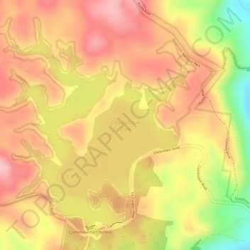
Name: Cooloolabin Dam topographic map, elevation, terrain.
Average elevation: 965 ft
Minimum elevation: 561 ft
Maximum elevation: 1,181 ft
Other topographic maps
Click on a map to view its topography, its elevation and its terrain.
Fair Hill
Australia > Queensland > Yandina
Fair Hill, Yandina, Sunshine Coast, Queensland, 4561, Australia
Average elevation: 167 ft