
La Orgata topographic map
Interactive map
Click on the map to display elevation.
About this map
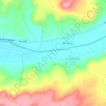
Name: La Orgata topographic map, elevation, terrain.
Location: La Orgata, Villaco, Valladolid, Castile and León, Spain (41.73257 -4.28426 41.75257 -4.26426)
Average elevation: 2,661 ft
Minimum elevation: 2,493 ft
Maximum elevation: 2,917 ft