
Villa Montes topographic map
Interactive map
Click on the map to display elevation.
About this map
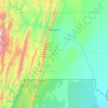
Name: Villa Montes topographic map, elevation, terrain.
Location: Villa Montes, Gran Chaco, Tarija, Bolivia (-22.25140 -63.98998 -20.98951 -62.25794)
Average elevation: 2,211 ft
Minimum elevation: 830 ft
Maximum elevation: 9,518 ft