
Khopoli topographic map
Interactive map
Click on the map to display elevation.
About this map
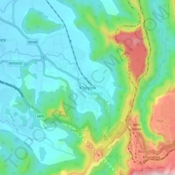
Name: Khopoli topographic map, elevation, terrain.
Location: Khopoli, Khalapur, Raigad, Maharashtra, 410203, India (18.74775 73.30382 18.82775 73.38382)
Average elevation: 732 ft
Minimum elevation: 157 ft
Maximum elevation: 2,513 ft