
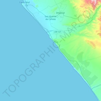
San Vicente de Cañete topographic map
Interactive map
Click on the map to display elevation.
About this map
Name: San Vicente de Cañete topographic map, elevation, terrain.
Location: San Vicente de Cañete, Cañete, Lima, Peru (-13.32351 -76.43815 -13.05689 -76.08336)
Average elevation: 279 ft
Minimum elevation: 0 ft
Maximum elevation: 3,648 ft